Laitlum map and directions
Find the canyon, see the approach through Smit and open directions in Google Maps.
The interactive map is loaded from Google only when you choose to show it.
Shillong, then Smit, then the canyon
Laitlum is about 25 km from Shillong. The final stretch, roughly 5 km, runs from Smit village to the canyon. Arrange your return journey before you set out.
Road navigation is not a trekking route. Follow local advice for valley trails.
Finding Laitlum
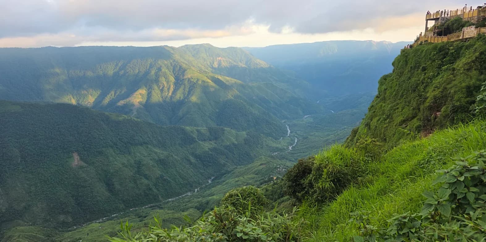
Search Google Maps for "Laitlum Canyon" and tell your driver you want the canyon viewpoint beyond Smit, not a village or a trail in the valley. From Shillong the road runs through Smit, then roughly 5 km on to the canyon, about 15 minutes by car.
Before you set off
Mobile data can be patchy in the hills, so download the area in Google Maps for offline use and save your driver's number. Share your exact pickup pin when you book a taxi: distances quoted from "Shillong" depend on where in the city you start.
Parking and the last stretch
Park in the designated area and walk the last part to the viewpoints. Road navigation ends at the road. It is not a trekking route, and it cannot tell you whether a path into the valley is open or safe; ask a local guide about that.